News
May 8, 2026
Learn how e‑bike throttle rules work in the UK, including the 4mph walk‑assist limit, legal exceptions, and how compliance affects insurance requirements.
e-bikes
May 6, 2026
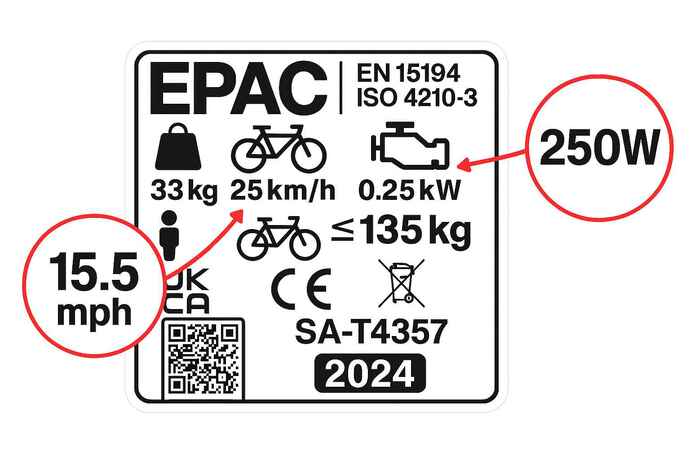
A 250W sticker alone doesn’t make your e‑bike legal. Find out how UK EAPC rules work, why fake labels fail, and what happens if your bike exceeds limits.
e-bikes
April 27, 2026
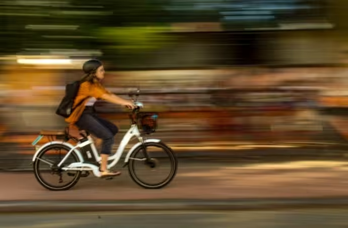
One of the best things about e-bikes is you can use them as freely as a normal bicycle: that means full access to cycle lanes, and no legal requirement for registration, a driving licence, vehicle excise duty, insurance or a helmet. However, to enjoy these benefits, the e-bike must comply with EAPC (electrically assisted pedal cycle) rules.
e-bikes
April 17, 2026
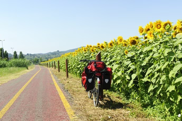
Cycle touring is cheaper, easier and less daunting than many people imagine. Here’s how to plan a cycling holiday in Europe, from choosing a route to packing light.
Cycle Travel

April 9, 2026
You don't need a cargo bike to carry a surprising amount of stuff. From panniers and saddlebags to frame bags and hip packs, there are plenty of ways to make a standard bike more useful.
Cycling

April 1, 2026
A practical guide to simple roadside fixes and knowing when it’s time to get recovered.
Cycling

March 30, 2026
Cargo bikes make everyday trips easier, and more enjoyable. Here’s how the main styles differ, what each is best at, and which designs suit your budget.
e-bikes

March 25, 2026
Where cycling is treated as a normal way to get around, women ride as much as men. In Britain, that still feels a long way off.
Cycling
.avif)
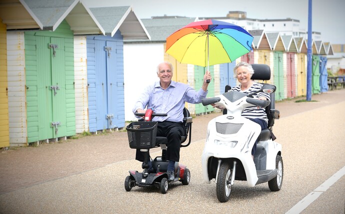
March 19, 2026
Mobility scooters that go over 8mph, are wider than 85cm, or exceed the weight limits are treated differently under UK rules. Here’s what “not in a class” means, where you can use these vehicles, and when DVLA registration, a driving licence and compulsory insurance apply.
Mobility

March 18, 2026
A practical guide to e-bike care, with advice on battery charging and storage, motor strain, wet-weather use, washing and carrying a bike on a car rack.
e-bikes